
FAQs
How will California’s Statewide Breeding Bird Atlas work?
The State is Divided into a Grid: Following the structure used in most other states, California will be divided into approximately 16,500 atlas blocks (about 3 × 3 miles each). These are based on subdividing USGS topographic quadrangle maps into six equal parts (two columns by three rows). Each block serves as a survey unit.
A Defined Atlas Period: Like most BBAs, the project will collect cumulative data over a set five-year period. In California, the fieldwork phase will run from 2026 through 2030.
Volunteers and Scientists Survey Birds: A combination of volunteers and field technicians will survey blocks across the entire state and record both bird presence and behaviors that indicate breeding. Breeding evidence is categorized using standardized codes, subdivided into three categories:
Possible (e.g., singing birds or presence in suitable habitat)
Probable (e.g., courtship, territorial behavior)
Confirmed (e.g., carrying nesting material, feeding young, or attending active nests)
Data Are Compiled and Analyzed: Once fieldwork concludes, scientists will spend four years analyzing the data, developing maps and models, and producing final Atlas products. These will include a published volume, digital tools, and regionally relevant summaries for land managers and conservation partners.
How will data be collected?
The primary data collection and management platform will be a custom-built eBird Atlas project, developed in partnership with the Cornell Lab of Ornithology. This platform is similar to those used in other successful atlases, such as in New York, New Zealand, and many other regions.
In addition to volunteer observations submitted through eBird, data will also be integrated from agencies, universities, NGOs, land trusts, and other sources including the Breeding Bird Survey, Bird Banding Laboratory, MAPS, Project Nestwatch, and iNaturalist.
If this is a Breeding Bird Atlas, why is data being collected all year?
Our primary goal is to improve our understanding of the status, distribution, and phenology of breeding birds, but the Project will be “open” for data submissions year-round, if for no other reason than birds breed in California during every month of theyear.
Depending on funding and capacity, we may also use the Atlas to explore specific questions related to birds during their non-breeding periods.
Why does California need a statewide Atlas? Doesn’t it have county atlases?
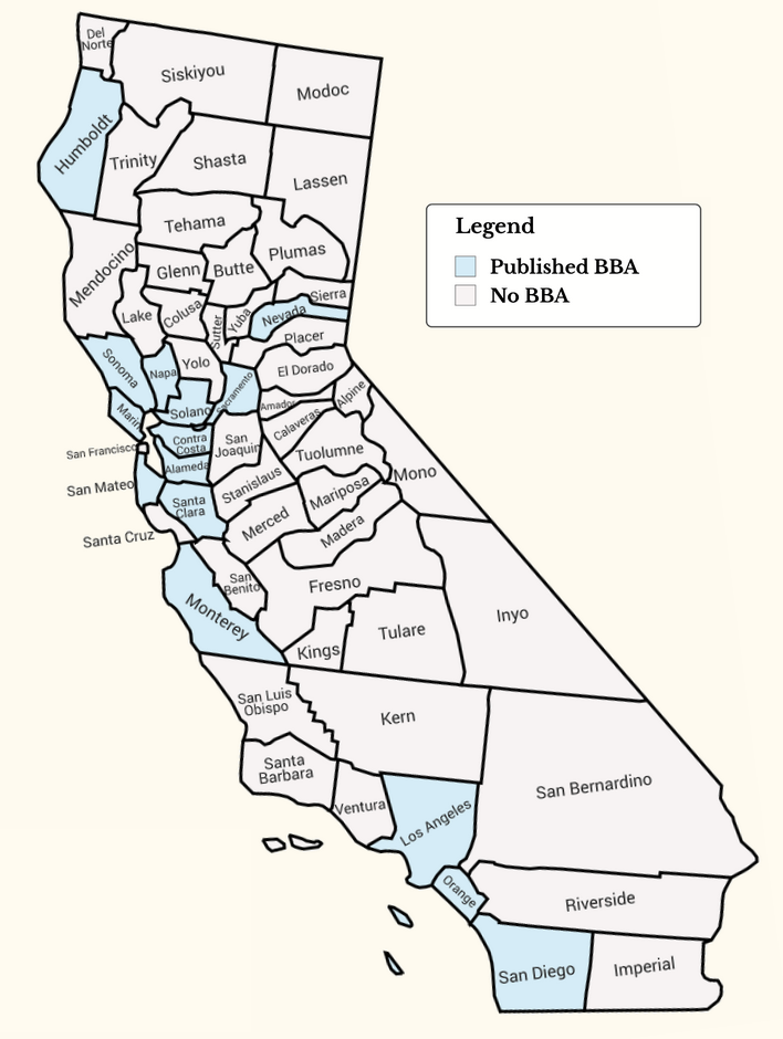
Since the Marin County Breeding Bird Atlas was initiated in 1976, county-level atlases have served as essential resources to support local conservation in CA. But only 15 of 58 counties (26%) have produced atlases, most of which are concentrated along the coast. A statewide atlas benefits from significant economies of scale (the cost of a dedicated eBird Project, for example, is similar whether built for a single county or the whole state). By effectively sharing resources, a coordinated statewide effort can support the development of Atlas products in areas that have lacked the resources (money, people, time) to produce a dedicated atlas of their own. For counties that have already completed an atlas, results from the statewide BBA can be used to assess change over time.
How do you expect to cover such a large state?
It will be a challenge! But a good challenge. Other large states have completed statewide BBAs, including Texas, Nevada, Washington, and Oregon.
First and foremost, we will need to mobilize California’s active community of birders, who already provide significant coverage. From 2020 through 2024, >76,000 eBirders collectively logged more than 3.5 million hours surveying birds in CA. Redistributing 10% of these survey hours evenly across the state would ensure all ~16,500 blocks receive at least 20 hours of coverage (a common “completion” metric used by other atlases). This is why educating the community so that more of the “normal” baseline birding effort becomes targeted “atlasing” will be a priority.
Finally, we do not necessarily need to cover every square inch of the state. Data from a subset of the blocks can be used to generate powerful models to map and track bird populations. We are currently developing a sampling strategy to ensure adequate coverage across the full range of California’s climates, land uses, and vegetation community types.
We will also develop a dynamic mapping tool to help volunteers identify areas where surveys will provide the greatest scientific and management value, including regions lacking recent coverage, sites projected to undergo rapid change in the future, and areas where existing species distribution models (e.g., eBird Status & Trends products) have high uncertainty.
How can I support California Bird Atlas?
At this stage, the most impactful way to support this unprecedented initiative is by making a donation.
How do I donate?
Click here to donate to California Bird Atlas, an independent 501(c)(3) nonprofit organization.
Is my contribution tax-deductible?
Yes. California Bird Atlas is recognized by the IRS as a 501(c)(3) nonprofit organization, and all donations are fully tax-deductible to the extent allowed by law. After you make a contribution, you’ll receive a receipt for your records that can be used when filing your taxes.